Quick Facts
- Category: Science & Space
- Published: 2026-05-19 20:19:58
- Enhance Your Python Projects with Codex CLI: A Comprehensive Guide
- From Daily Puzzle to Primetime: The Staggering Statistics Behind Wordle's Leap to TV
- Everything You Need to Know About Ubuntu 26.10's Unusual Codename
- 10 Critical Insights from Nvidia's CEO on AI Chip Exports to China and US Strategy
- Hubble Captures a Galaxy in Transition: NGC 1266's Post-Starburst Secrets
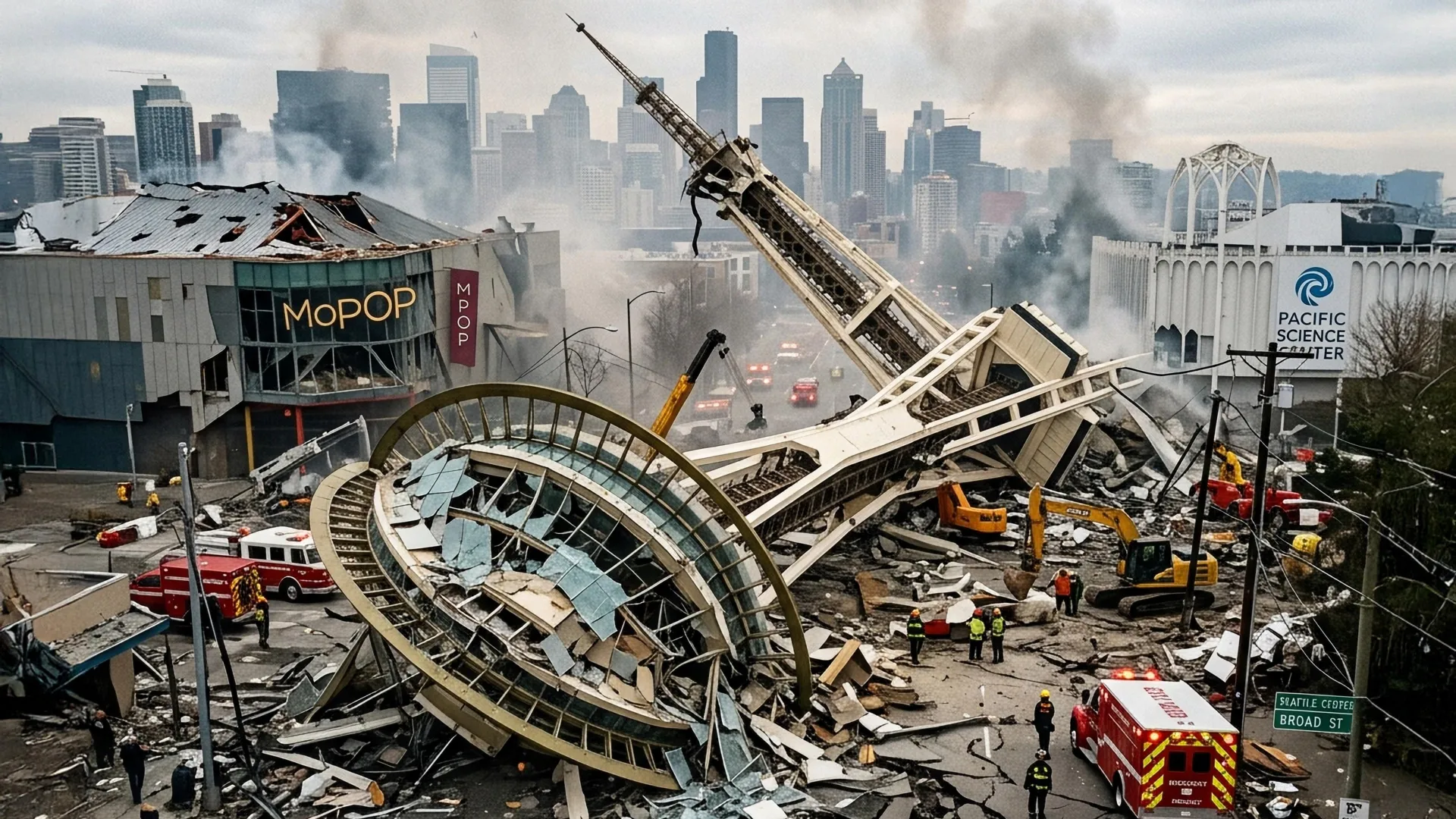
Beneath the bustling streets of Seattle, a hidden network of earthquake faults stirs with far more activity than experts ever expected. New geological research has uncovered a startling reality: smaller, secondary faults in the Seattle Fault Zone are rupturing roughly every 350 years—much more frequently than the massive main fault that has long dominated hazard assessments. This revelation reshapes how we understand seismic risks in the Pacific Northwest. Here are seven key facts you need to know about these concealed dangers, from their surprising frequency to what it means for the region's earthquake preparedness. Jump to Fact #1.
1. A Hidden Network Beneath the City
Seattle sits atop a complex web of faults that have remained largely invisible to surface observation. Unlike the well-known San Andreas Fault, these faults are buried under layers of glacial sediment and urban development, making them difficult to detect. The Seattle Fault Zone features a main fault that can generate magnitude 7+ earthquakes, but recent studies using high-resolution lidar and seismic imaging have revealed a tangle of secondary faults crisscrossing the region. These smaller fractures are not just geological curiosities; they pose a distinct threat due to their shallow depth and proximity to critical infrastructure.
2. Secondary Faults Rupture Every 350 Years
The most shocking discovery is the recurrence interval of these secondary faults. Previously, geologists assumed they ruptured every 1,000 to 5,000 years. New analyses of sediment layers and radiocarbon dating show they rupture roughly every 350 years—a pace that puts them in the realm of active, recurring hazards. This means the city has likely experienced many moderate earthquakes in the past that were previously underestimated or missed entirely. For context, the last major rupture on the main fault occurred around 1,100 years ago, making these secondary faults a much more immediate concern.
3. Smaller Does Not Mean Safer
While these secondary faults are less powerful individually—typically generating earthquakes of magnitude 6 to 6.5—their shallow depth and location directly under urban areas make them particularly dangerous. Shallow earthquakes produce stronger ground shaking at the surface, amplifying damage to buildings, bridges, and utilities. Moreover, because they occur more frequently, the cumulative probability of a damaging event within a human lifetime is higher than for a rare megaquake. This changes risk calculations for everything from insurance to building codes.
4. The Main Fault Is Still the Big Threat
Scientists caution that the newly discovered frequency of secondary faults does not diminish the danger of the main Seattle Fault. That main fault, capable of a magnitude 7.5 to 8.0 earthquake, last ruptured about 1,100 years ago and is overdue. It could generate a tsunami in Puget Sound and cause widespread liquefaction. However, the increased activity on secondary faults suggests the region may experience more frequent moderate earthquakes, which can serve as stress triggers for the main fault—potentially hastening a larger rupture.
5. Implications for Seattle’s Infrastructure
Seattle’s building codes have historically focused on the main fault scenario, but the new data demands upgrades. Many older structures, including brick buildings and unreinforced masonry, are vulnerable to the intense shaking from shallow, moderate quakes. Critical lifelines—such as the Alaskan Way Viaduct replacement, the city’s water system, and the Seattle Center—could face significant damage. Engineers are now calling for retrofitting programs and better soil hazard mapping to account for the higher frequency of shaking from secondary faults.
6. History Holds Clues for Preparedness
Geologists are digging into the geological record to better understand past earthquakes on these secondary faults. By examining tree rings, lake sediments, and fault scarps, they have identified at least five major ruptures in the last 2,000 years. This historical data is being used to refine probabilistic models of future shaking. For example, a rupture around A.D. 900 appears to have caused widespread landslides near Puget Sound. Such events offer valuable lessons for emergency planners—highlighting areas at risk of cascading hazards like landslides and fires.
7. What You Can Do to Stay Safe
For residents of Seattle and the surrounding region, the key takeaway is to prepare for a range of earthquake sizes. The Washington State Emergency Management Division recommends having a 14-day emergency kit, securing large furniture, and knowing how to drop, cover, and hold on. Homeowners can also arrange for a seismic retrofit inspection, especially in neighborhoods like West Seattle or the Duwamish valley where secondary faults are concentrated. The good news: knowing the fault activity is more frequent allows for more targeted mitigation. Stay informed through local alerts and consider joining community earthquake preparedness programs.
In conclusion, the discovery that hidden secondary faults beneath Seattle rupture every 350 years challenges our assumptions about regional seismic risk. While the main fault remains a major concern, the more frequent moderate earthquakes from these shallow faults demand immediate attention. By updating building codes, improving maps, and enhancing public awareness, Seattle can reduce the impact of future shocks. The ground beneath our feet is moving more often than we thought—but with knowledge comes resilience.